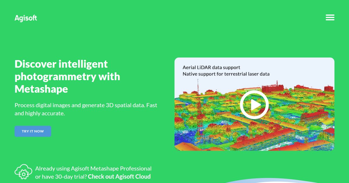
Reality capture connects the physical site to the digital thread. It includes laser scanning, mobile mapping, drones, and photogrammetry pipelines that produce point clouds or meshes for verification and as built documentation. Success depends on survey control, noise handling, and how teams register scans into project coordinates without drifting grids.
Evaluate processing time on your hardware, support for unified coordinate systems, and how deliverables attach to issues in your CDE. Large datasets can stress networks, so compression and streaming matter. Align scan frequency with schedule milestones so verification keeps pace with installation.
This category helps you compare capture hardware ecosystems and the software that turns raw data into actionable BIM context. Capture procurement specs for scanners and drones alongside software so warranties and calibration cycles stay visible.