


How do we pick projections for large sites?
Work with survey to minimize distortion across the site extent. Document EPSG codes in the BIM execution plan and keep transformations versioned when boundaries shift.
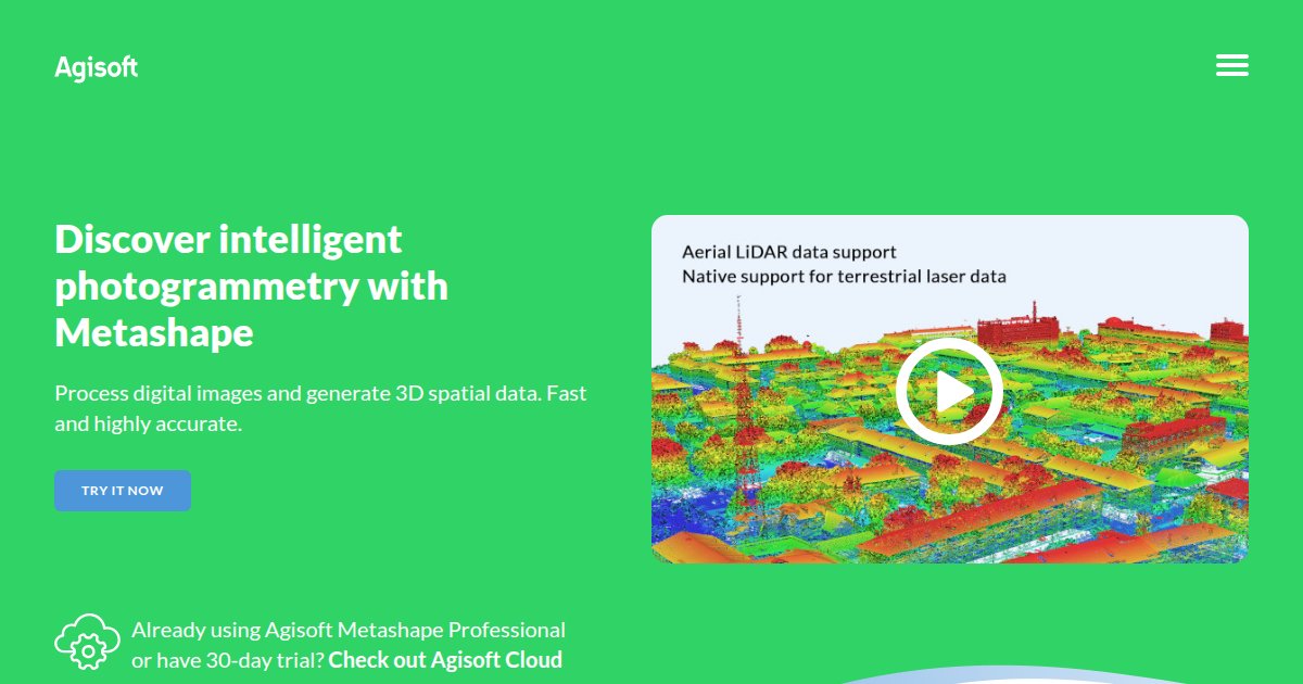
Curated directory of GIS & Site software for AEC teams. 37 published tools.
GIS and site tools anchor projects in real world coordinates, constraints, and environmental context. They help teams align civil, utility, and building models while respecting easements, flood zones, and environmental overlays. Accuracy depends on survey datums, projection choices, and how often basemap layers refresh. When comparing products, test how they consume aerial imagery, lidar, and utility as builts. Ask about field sync for inspectors and how exports feed permitting agencies. Document datum and epoch whenever you merge legacy CAD with new survey so future phases do not shift alignments silently. This category supports teams that bridge geospatial science with building delivery, especially on linear infrastructure and complex campuses. Pair GIS investments with training for project engineers who translate agency feedback into model updates.
Work with survey to minimize distortion across the site extent. Document EPSG codes in the BIM execution plan and keep transformations versioned when boundaries shift.
Attribute loss, double geometry, and misaligned pipes. Establish a translation matrix and test round trips on utility corridors before full rollout.
Record source agencies, capture dates, and disclaimers. Stale flood or habitat layers create liability if decisions rely on them.
Utility locates, as built capture, vegetation surveys, and access route planning. Confirm offline basemap behavior and GPS accuracy classes.
Through dashboards, 3D PDFs, Cesium style viewers, or twin platforms. Match fidelity to their decision cadence.
Discover geospatial products adjacent to modeling and field categories before you lock long term stack decisions.